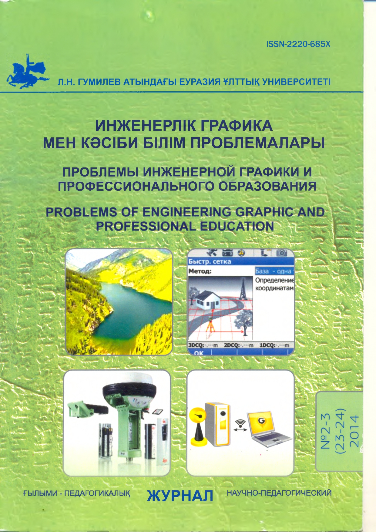
Leica geosystems satellite technology in geodesy
Views: 141 / PDF downloads: 148
DOI:
https://doi.org/10.32523/2220-685X-2014-23-2-3-29-32Keywords:
Satellite system, navigation, leica geosystems sputnikt1k technologyAbstract
This article concerns systems of high-precision satellite positioning become an integral part of geodetic and cartographic
works. These systems (GIS GPS / GLONASS) are used to create a reference geodetic studies, surveys, removal project
in nature, etc.
Downloads
Published
2023-03-06
How to Cite
Mukhtargalieva Zh.A. М. Ж., & Zhuparhan B Ж. Б. (2023). Leica geosystems satellite technology in geodesy. Рroblems of Engineering and Professional Education, 23(2-3), 29–32. https://doi.org/10.32523/2220-685X-2014-23-2-3-29-32
Issue
Section
Статьи